
Maps
The Census Geographies Hierarchy provides a graphic understanding of the Census. Aggregating the census data geographically provides the necessary framework for apportioning seats in the United States House of Representatives, redistricting of States for congressional and legislative representation, charting social and economic trends, distributing public funds, and administering public and private programs.

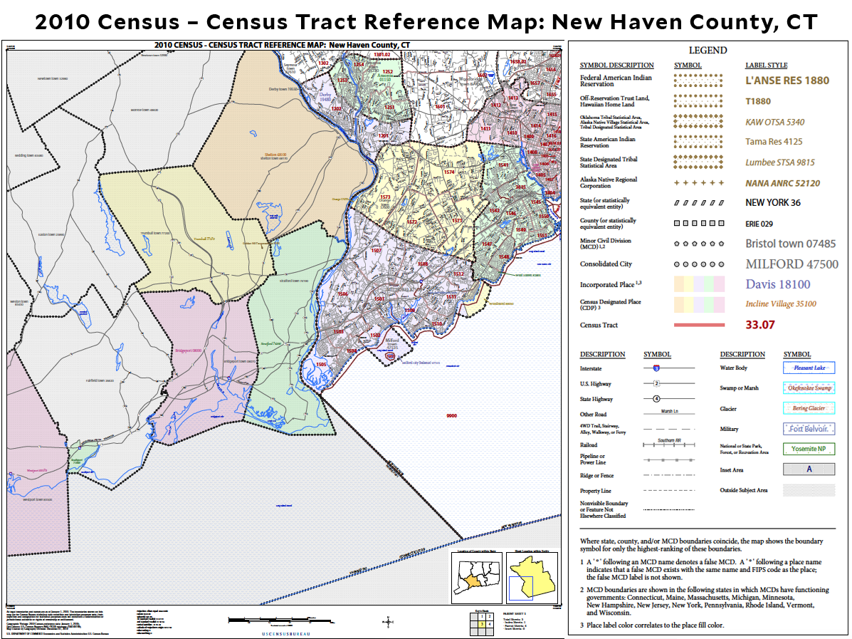
According to the Census Bureau, "a census tract is a mostly permanent geographic location (designated by committees called CSACs) in either a metropolitan or nonmetropolitan area that generally has anywhere between 2,500 to 8,000 inhabitants."
Census blocks are the smallest entities that the census uses to collect information; it is defined by the census, and may or may not be the same size as street blocks. Census block groups are a combination of census blocks and are at times the lowest level of analysis provided by the census.
